On this page
In Brief
There are no trains in Bali. No railway line operates on the island, and the colonial network never reached it. The nearest station is Ketapang in Banyuwangi, on the East Java side of the Bali Strait, beside the ferry port for Gilimanuk. On Bali itself everyone travels by road: private drivers and taxis, rented cars and scooters, and a thin network of public buses and minibuses. Rail is in the plans. Bali's provincial spatial plan marks out indicative lines, including one from the south over the mountains to Singaraja and one around the island. An underground line from the airport broke ground in September 2024, but the transport minister told parliament in April 2026 that no investor had come forward, and in September 2026 the governor said the state railway company would start building a line from the airport toward Canggu the following year. None of these is running or under full construction as of September 2026.
Trains and Bali at a Glance
- Railway on Bali: none, passenger or freight
- Nearest station: Ketapang, Banyuwangi, East Java, beside the ferry port for Gilimanuk
- How people get around: private drivers, car and scooter hire, taxis and ride-hailing, public buses and bemo minibuses
- South to north: about three hours by road from the airport to Lovina, over the central mountains
- Official rail plans: Bali Province spatial plan, Regional Regulation 2 of 2023, Article 20
- Status: plans and statements only; no line operating
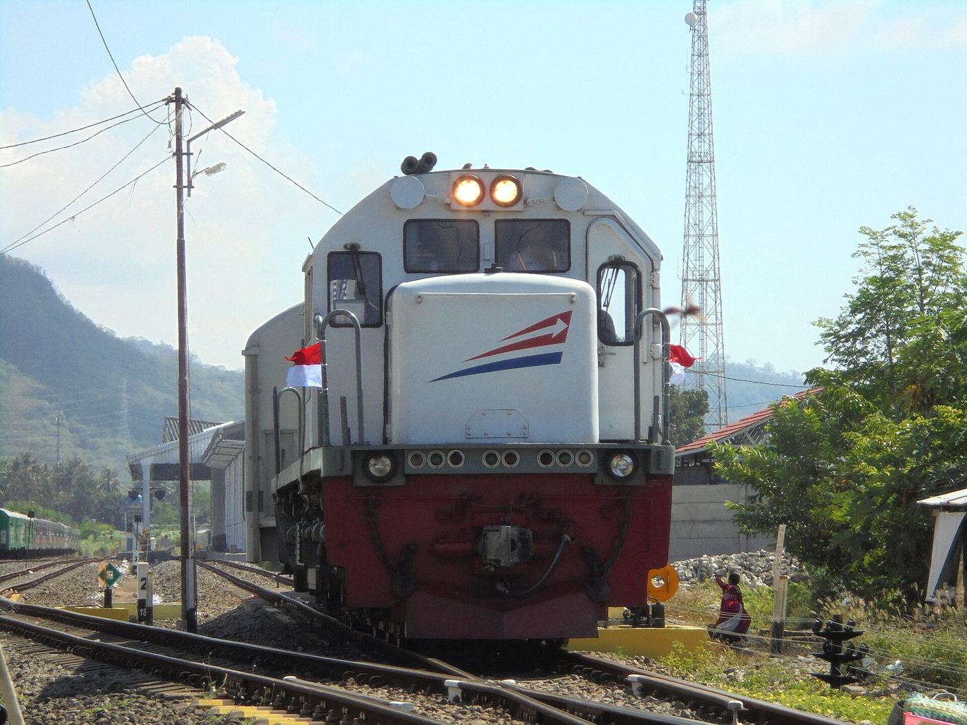 A train leaving Ketapang station in Banyuwangi, the end of the line on Java, across the strait from Bali. Photo: Rizal Febri Ardiansyah / Wikimedia Commons (CC BY-SA 4.0)
Why Bali Has No Railway
Indonesia's railways are a colonial inheritance. The first line, in Semarang on Java, was built in the 1860s for the army and to carry farm produce to warehouses, and by the 1920s Java's network reached most towns, with branches and tramways linking sugar plantations to their mills, according to the history of rail transport in Indonesia. In Sumatra the lines carried troops, coal from the mines and crops from the plantation belts.
The same record lists the lines the colonial state built or planned up to the 1920s. Java's track reached east to Banyuwangi, facing Bali across the strait. Beyond Java, lines were built in Sumatra and a short one in South Sulawesi, and more were planned for Sulawesi and Kalimantan until the Depression and the Second World War stopped them. Bali is on none of those lists.
The record does not say why Bali was left out, but the pattern is plain: the lines went where there was freight to haul, sugar on Java, coal and estate crops in Sumatra. Bali's middle is also a chain of volcanoes and lake basins that any line from south to north would have to climb. Independent Indonesia inherited the colonial map, and new lines since have gone to Java, Sumatra and Sulawesi. Bali's traffic grew up on the road.
The Nearest Train: Ketapang, Across the Strait
If you are travelling overland from Java, the train brings you right to the water. Ketapang station in Banyuwangi was built in the 1980s together with a line to the harbour, so that passengers could step off the train and onto the ferry. The ferry crosses to Gilimanuk on Bali's western tip, and from Gilimanuk the coast road runs east to Pemuteran and Lovina.
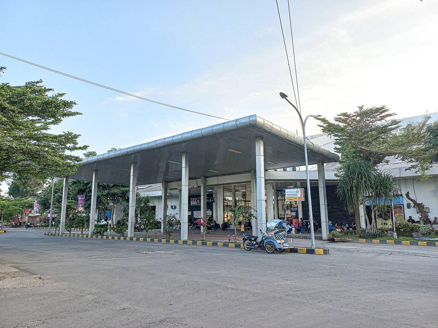 The entrance to Ketapang station, the easternmost on Java. Photo: Rizal Febri / Wikimedia Commons (CC BY-SA 4.0)
For the crossing itself, what to expect at each port and the drive on to the north coast, see the Gilimanuk crossing to north Bali.
How to Get Around Bali Instead
Every journey on Bali is a road journey. The choice is who drives.
A private driver. The simplest way for most visitors, especially between the south and the north coast. A driver for the day takes you over the mountains, waits at the lakes or a waterfall, and handles the parking. Private drivers in north Bali explains how to book one and what a day covers, and Palm Living's helpdesk in Kalibukbuk arranges airport and hotel transfers anywhere on the island.
Driving yourself. Cars and scooters can be rented all over the island. You need the right licence for the vehicle, which for a visitor means an International Driving Permit alongside your home licence; driving licence in Bali sets out the rules and the helmet law.
Public buses and bemo. Buses run to Singaraja, the north's main town, where you change onto a bemo, a local minibus, for the coast. It is cheap and slow, with changes and waits, and awkward with luggage.
Taxis and ride-hailing apps. Useful in the south and in towns. For longer trips in the north, arrange a driver in advance.
From the airport to Lovina is roughly three hours by road, up through the highlands past the Bedugul lakes and down the far side. Getting to north Bali compares every option and the routes over the mountains.
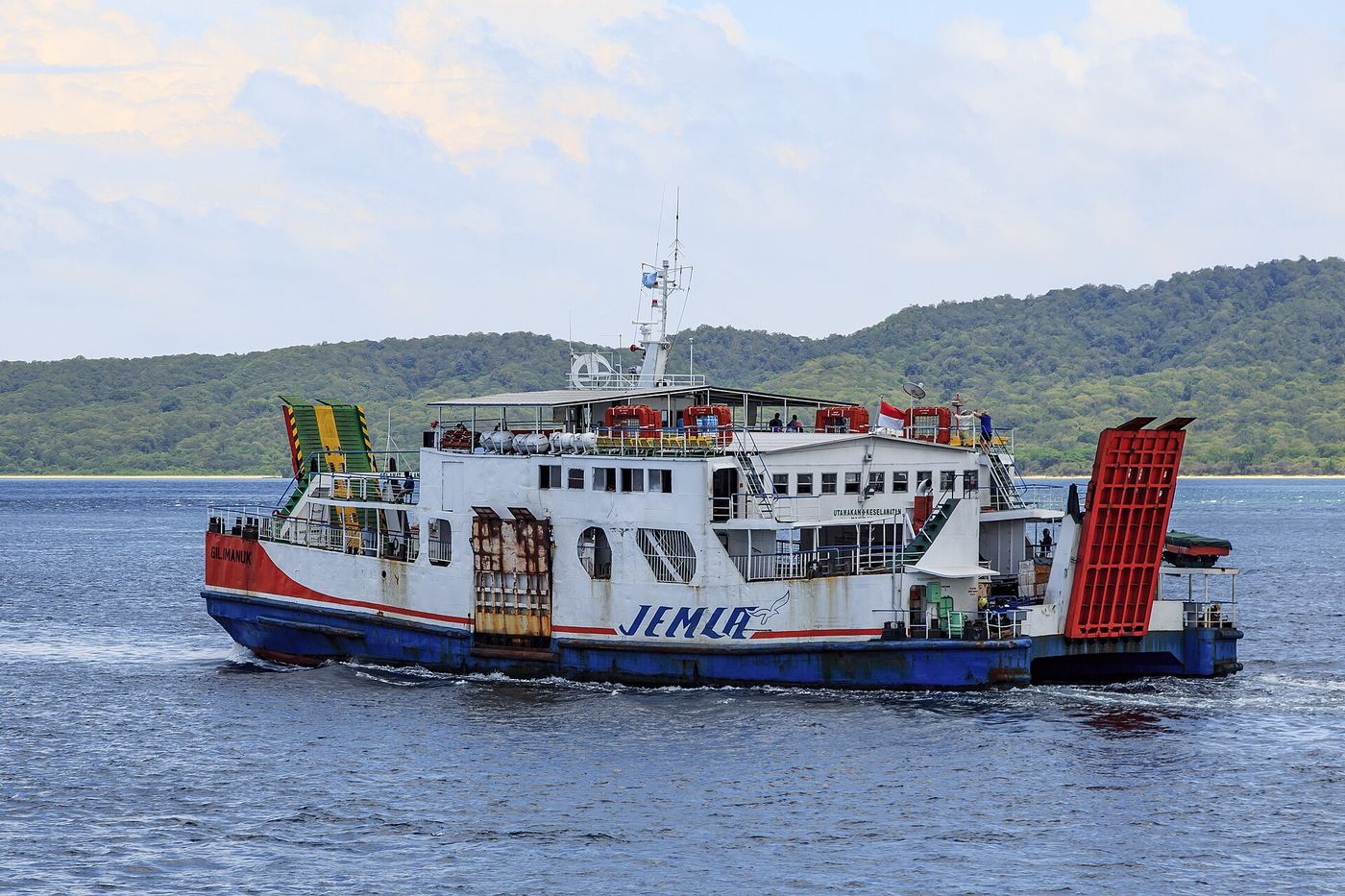 A ferry on the Bali Strait between Banyuwangi and Gilimanuk. Photo: CEphoto, Uwe Aranas / Wikimedia Commons (CC BY-SA 3.0)
The Rail Plans for Bali
Several rail projects have been announced for Bali. They are described here as their sources describe them. Treat every date as a target.
The provincial spatial plan
Bali's spatial plan for 2023 to 2043, Regional Regulation 2 of 2023, includes an indicative railway network in Article 20. The provincial planning office's summary of the plan lists three corridors:
- An urban network in the south (Sarbagita: Denpasar, Badung, Gianyar, Tabanan), linking the airport, Kuta, Nusa Dua, Sanur and Ubud.
- A south to north corridor through Mengwi, Singapadu, Ubud and Kubutambahan to Singaraja.
- A line around the island linking Gilimanuk, Denpasar, Padangbai, Singapadu and Seririt.
The plan also marks station sites and areas for transit-oriented development around them. For the north coast, the second and third corridors are the ones that matter. A spatial plan reserves the route; it does not fund or build it.
The airport line
The furthest-advanced project has been an urban line from Ngurah Rai airport. Its first phase was planned to run from the airport through Kuta toward Seminyak and Canggu, with later phases to Nusa Dua, Sanur and Ubud. A ceremony to mark the start of construction was held at Kuta Central Parking on 4 September 2024.
On 8 April 2026, answering questions in parliament, Transport Minister Dudy Purwagandhi said that no investor had come forward to build the Bali line and that this was why the project had stalled, Bisnis.com reported. He said the ministry was still offering the project to investors, and Bisnis added that the government was preparing a water taxi between the airport and Canggu as a shorter-term measure.
On 21 September 2026, Governor Wayan Koster told the provincial parliament that the state railway company, KAI, had presented its plans three times, that the budget had been prepared, and that construction of a train line would begin the following year to relieve the traffic between the airport and Canggu, ANTARA reported.
None of these lines reaches the north coast. For travel to Lovina, Pemuteran or Munduk, the road over the mountains will remain the way for the foreseeable future.
Practical Notes
- No rail pass needed. Nothing on Bali runs on rails.
- Coming from Java by train? Get off at Ketapang, go to the ferry port next to the station, and cross to Gilimanuk.
- Plan the drive north as a half-day with stops, not a quick transfer.
- Book a driver ahead for trips in the north.
- Scooter? Only with the right licence, a helmet, and insurance that covers riding.
FAQ
Are there trains in Bali? No. Bali has no railway of any kind, passenger or freight, and the colonial rail network never reached it. All travel on the island is by road.
Why doesn't Bali have a train? Indonesia's railways were built in the colonial era to carry freight such as Java's sugar and Sumatra's coal and plantation crops, and Bali was never part of that network. Its volcanic spine would also make a south to north line hard to build. Rail plans now exist on paper, but nothing has been built.
Where is the nearest train station to Bali? Ketapang station in Banyuwangi, East Java, next to the ferry port for Gilimanuk on Bali's western tip.
Is Bali building a railway? Plans have been announced. The provincial spatial plan marks out lines including one to Singaraja and one around the island, and an airport line to Canggu has been announced several times. As of September 2026, none is in operation.
What is the best way to get around Bali without a train? A private driver is the easiest for most visitors, especially between the south and the north coast. You can also hire a car or scooter with the right licence, use taxis and ride-hailing apps in the south, or take public buses and bemo minibuses if you have time.
How long does it take to get from the airport to north Bali? Roughly three hours by road from Ngurah Rai airport to Lovina, over the central mountains past the Bedugul lakes.
Sources
- Bali Province spatial planning office (TARUBALI), The future of mobility: the planned railway network system in Bali Province, on Article 20 of Regional Regulation 2 of 2023, 21 October 2023, read September 2026 (in Indonesian)
- Bisnis.com, Transport minister on the fate of the Bali MRT after failing to attract investors, 8 April 2026, read September 2026 (in Indonesian)
- ANTARA News Bali, Governor Koster presents Bali's infrastructure megaprojects to the provincial parliament, 21 September 2026, read September 2026 (in Indonesian)
- Wikipedia, Rel Perkotaan Bali, for the airport line's phases and the ceremony at Kuta Central Parking, read September 2026 (in Indonesian)
- Wikipedia, History of rail transport in Indonesia, for the colonial network and its purposes, read September 2026 (in English)
- Wikipedia, Ketapang railway station (Banyuwangi), read September 2026 (in English)
Read next: getting to north Bali, private drivers in north Bali and the Gilimanuk crossing.